Avenza Maps
Geospatial PDF map viewer with GPS capabilities
Overview
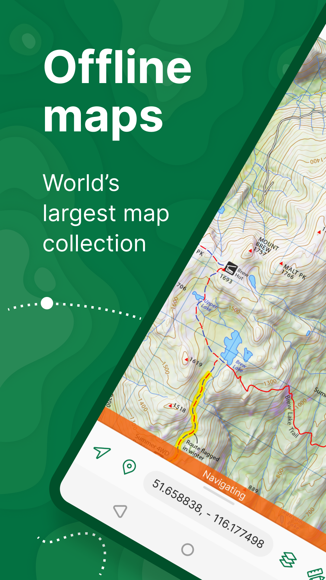
Avenza Maps allows users to import and use geospatial PDF maps with GPS positioning. This is particularly useful for trail builders who work with custom trail design maps or land management plans. The app enables precise location tracking on these custom maps, adding placemarks, measuring distances, and recording GPS tracks even without cellular coverage.
Platforms
iOS
Android
Price
Free
Key Features
Import custom geospatial PDF maps
GPS positioning on any map
Add placemarks and record tracks
Measure distances and areas
Works offline in remote areas
Trail Building Usage
Avenza Maps can be a valuable tool in your trail building workflow. Here are some specific ways to use this app for trail building projects:
Plan new trail routes with topographic data
Identify property boundaries and land ownership
Analyze terrain for optimal trail flow
Create detailed maps for land manager approval
App Details
Essential information about this application